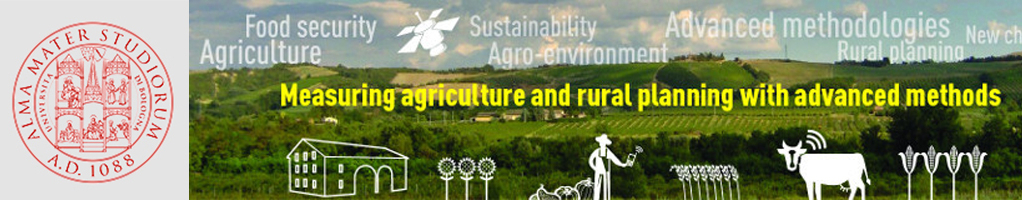
Measuring and monitoring agriculture and rural planning
Conferences organised by the University of Bologna for EXPO 2015 at the Italian Pavilion, selected by CRUI, and at the EU Pavilion, organized with the Joint Research Centre of the European Commission. These conferences will have a solid scientific content, but the speeches will be presented targeting all EXPO visitors like policy makers, donors, UN Organizations, NGOs, farmers organizations, food industries and citizens. Questions and comments from the audience will further enrich the discussion.
New challenges and cross-cutting issues in agricultural and rural planning
Italian Pavilion, August 31, 2015 | 2.30 p.m. - 6.00 p.m.
The following topics will be discussed: sustainable intensification of food production, multi-functionality, resource efficiency, urban sprawl, enhancement of environmental resources, innovative systems, structures and technologies for sustainable agriculture and forestry, and training agri-environmental experts of the future.
Impact evaluation of policies and projects for agricultural and rural development
Italian Pavilion, August 31, 2015 | 6.20 p.m. - 9.30 p.m.
Experts from all over the world will talk about new technological and methodological challenges for combining development, economic sustainability, environmental and landscape protection. They will discuss with high-level representatives of Italian and international Organizations in charge of defining and implementing the strategies to achieve the aims above and evaluating the impact of policies for agricultural and rural development.
Monitoring agriculture for market management and food security
European Union Pavilion, October 9, 2015 | 11.00 a.m. - 7.00 p.m.
Agricultural and agro-environmental monitoring, yield forecasting and early warning, deforestation and land use/land cover monitoring, are critical for policy makers. Accurate, timely and cost-effective approaches to these issues generally rely on the use of advanced methods, remote sensing data, Geographic Information Systems (GIS) and Global Positioning Systems (GPS). Moreover, upcoming satellites offer the possibility to improve some applications. In this conference, advanced methods developed so far are discussed, focusing on advantages, requirements and limitations.